CoLateral
Design Checker

Climatic Data Map - Canada

Interactive map lookup of NBC 2020 Appendix C climatic and Site Class C seismic values for major Canadian cities.

Design CheckerNBC 2020Design aid
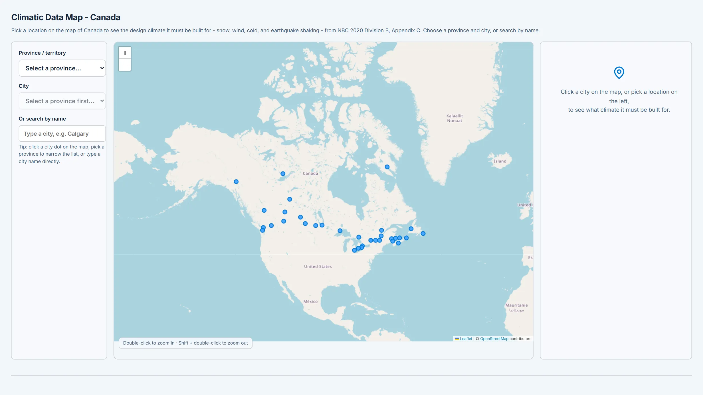
Climatic Data Map - Canada running in the CoLateral workspace
Climatic Data Map - Canada in the CoLateral desktop workspace.

What it does

Interactive map and search lookup of NBC 2020 Division B, Appendix C design climatic and seismic values (ground snow Ss, rain Sr, hourly wind pressures q, January/July design temperatures, degree-days, and Site Class C seismic Sa/PGA) for major Canadian municipalities. Click a city or search to view all values with copy/JSON/print export. Feeds the snow, wind, rain, and seismic load tools.

What it does not do

Seed dataset of major municipalities only with representative, rounded values - not the official Appendix C tables. No interpolation between locations. 4.

How to use it

Use for quick design-value reference and to seed load calculations. Confirm every governing value against NBC 2020 Appendix C and the Earthquakes Canada 2020 NBC seismic hazard tool before design use.

Covers

loadsclimaticnbcnbc2020snowwindseismicreferencemap

Use Climatic Data Map - Canada in your own projects

Every tool ships inside the CoLateral desktop workspace, so a result can stay attached to the project, the drawing, and the review trail it belongs to instead of ending up in a loose spreadsheet.

Outputs are design aids and stay in draft until a qualified engineer reviews and approves them.